
Printable Contour Profile Worksheet
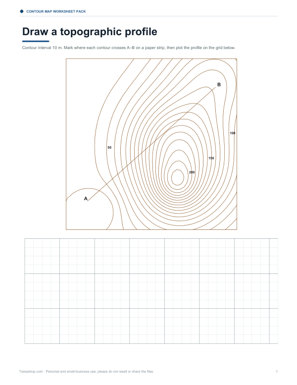
This two-page Letter PDF is for students working with contour maps and topographic profiles. It includes a contour interval of 10 m, a space to mark where each contour crosses line A-B on a paper strip, and a plotting grid for drawing the profile. The sheet also has fields for horizontal scale, vertical scale, and exaggeration.
Free printable · PDF
- 2 pages
- US Letter — choose “Fit to page” for A4
- PDF, 116 KB
Free for personal, family and classroom use.
Need to edit it? The full pack has the editable Word file plus all 4 sheets — $5.00, one-time.
Your free PDF is downloading. Want all 4 sheets in one download, plus the editable Word file so you can change the text?
Instant download · 7-day refund · Secure checkout by Stripe
Use the strip to transfer each contour crossing from A-B, then plot those points on the grid below. After that, connect the points to complete the topographic profile and fill in the scale fields before or after you draw.
Good for
- Contour map class practice
- Topographic profile homework
- Map scale review
Tip: Print on Letter paper at actual size so the grid and A-B line stay aligned.
4 files · PDF, DOCX
Get every sheet: Contour Map Worksheet Pack
This sheet plus 3 more in one download, with the editable Word files. Contour map reading worksheets on three generated terrains with answer keys, a draw-the-contours exercise from spot heights, a topographic profile worksheet and a landform reference sheet.
$5.00 USD, one-time 4 files · about $1.25 each
- Instant download
- 7-day refund
- Secure checkout by Stripe
✓ Classroom use included
7-day money-back guarantee. Full refund within 7 days of purchase, even after you download.
License: personal and classroom use. Teachers may print and photocopy these files for the students in their own classes, and share them in a password-protected class space (e.g. Google Classroom). Please do not resell, redistribute, or post the files on public websites. One purchase covers one teacher.
More free printables
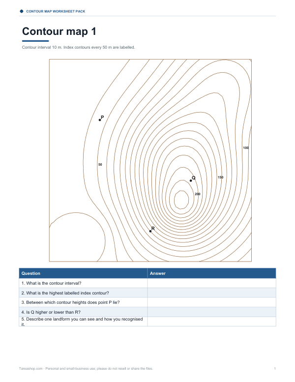 Contour Map Reading Worksheets6 pages · free PDF
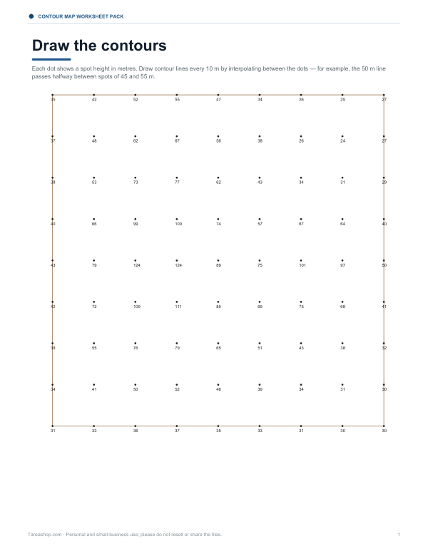 Contour Map Drawing WorksheetTwo-page contour map worksheet with spot heights in metres. Draw 10 m contour lines by interpolation, with an answer key included.2 pages · free PDF
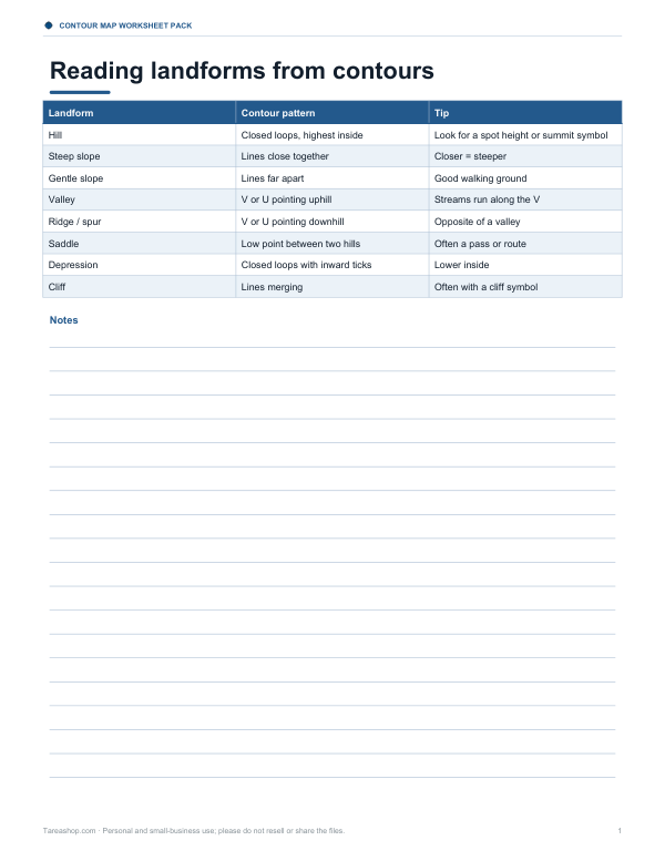 Printable Landform Reference ChartOne-page landform reference sheet showing contour patterns for hills, steep slopes, and gentle slopes with simple tips for reading maps.1 page · free PDF